|
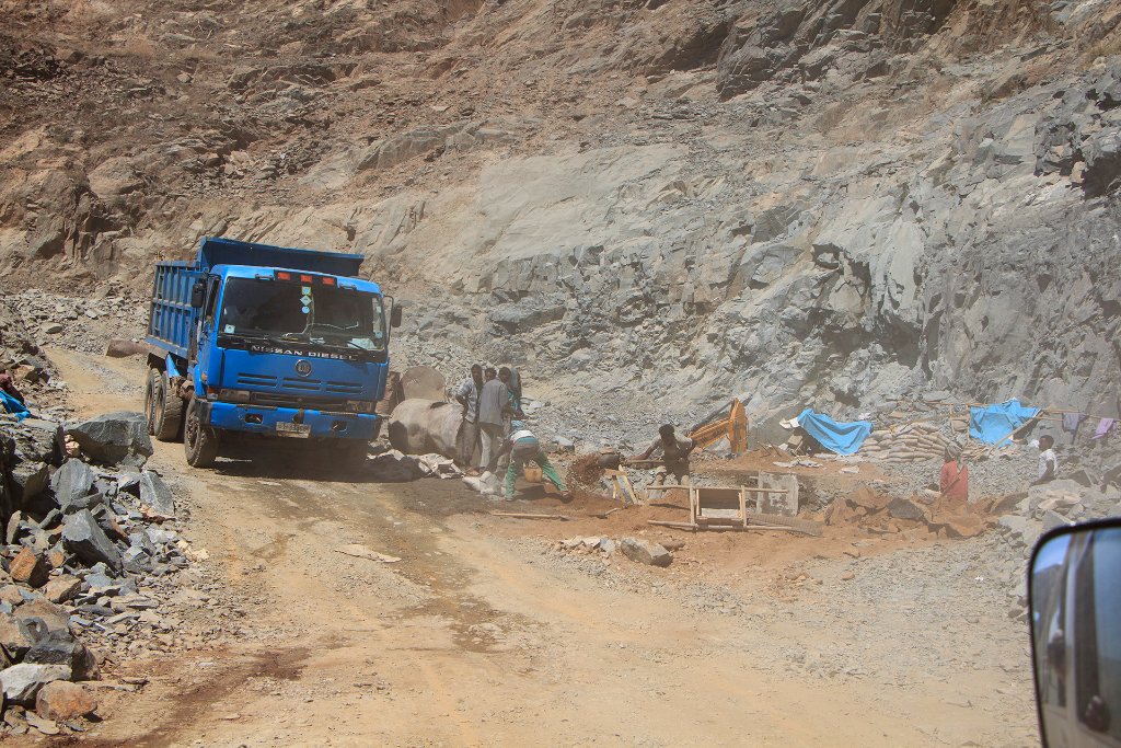 |
| The dirt road between Debark and Axum is paved | |
| Latitude: N 14°6'6,01" | Longitude: E 38°17'5,18" | Altitude: 1910 metres | Location: Inda SilasÄ | State/Province: Tigray Region | Country: Ethiopië | Copyright: Ron Harkink | See map | |
| Total images: 33 | Help | |